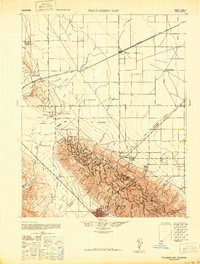
1942 Map of Polvadero Gap
USGS Topo · Published 1947About this map
Huron and the agricultural lands of the San Joaquin Valley meet the rising terrain of the Kettleman Hills in this 1940s survey. The landscape is defined by the transition from the flat valley floor, marked by a precise grid of roads like Eldorado Avenue and Lassen Avenue, to the intricate drainages carving through Anticline Ridge. The Southern Pacific railroad cuts a diagonal line across the plains, serving as the primary corridor for the region's ranching economy.
Find a feature on this map
52 named features on this map. Tap any name to fly to it.
Don’t see what you’re looking for? This feature index may not catch every label — zoom into the map to look around manually.
Map Details
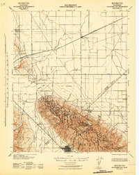
Editions of this 1942 Polvadero Gap Map
2 editions found
Other maps of this area

1912 · Coalinga
USGS Topo · 1:125,000

1914 · Lost Hills
USGS Topo · 1:125,000

1914 · Cholame
USGS Topo · 1:125,000

1915 · Cholame
USGS Topo · 1:125,000

1917 · Cholame
USGS Topo · 1:125,000

1926 · Lethent
USGS Topo · 1:31,680

1928 · Delta Farms No 3
USGS Topo · 1:31,680

1929 · Westhaven
USGS Topo · 1:31,680

1930 · Discovery Well
USGS Topo · 1:31,680

1930 · Canoas Creek
USGS Topo · 1:31,680