
1937 Map of Pomeroy
USGS Topo · Published 1937About this map
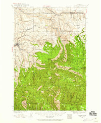
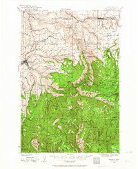
Pomeroy and Dayton anchor this late 1930s survey, showing the transition from agricultural valley floor to the dense ridges of the Umatilla National Forest. The map documents a rural landscape defined by small neighborhood schoolhouses, including Mt Vernon Sch, Highland Sch, and Green Valley Sch, which served families across the dissected plateaus.
Find a feature on this map
85 named features on this map. Tap any name to fly to it.
Don’t see what you’re looking for? This feature index may not catch every label — zoom into the map to look around manually.
Map Details
Editions of this 1937 Pomeroy Map
3 editions found
Other maps of this area

1910 · Pullman
USGS Topo · 1:125,000

1919 · Walla Walla
USGS Topo · 1:125,000

1921 · Walla Walla
USGS Topo · 1:125,000

1942 · Pomeroy
USGS Topo · 1:125,000

1943 · Peola
USGS Topo · 1:62,500

1943 · Saddle Butte
USGS Topo · 1:62,500

1946 · Saddle Butte
USGS Topo · 1:62,500

1946 · Peola
USGS Topo · 1:62,500

1948 · Starbuck
USGS Topo · 1:62,500

1950 · Starbuck
USGS Topo · 1:62,500