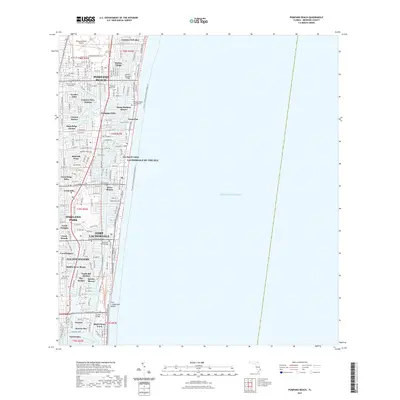
2021 Map of Pompano Beach
USGS Topo · Published 2021About this map
Pompano Beach and Fort Lauderdale define this coastal landscape, where the Intracoastal Waterway runs parallel to the Atlantic Ocean. The map reveals a dense network of residential finger islands and canals, such as Cypress Isles Estates and Garden Isles, which illustrate the region's characteristic mid-century water-oriented development. Vital infrastructure and community sites are documented, including the Pompano Beach Airpark and the Florida College of Business.
Find a feature on this map
60 named features on this map. Tap any name to fly to it.
Don’t see what you’re looking for? This feature index may not catch every label — zoom into the map to look around manually.
Map Details
Editions of this 2021 Pompano Beach Map
This is the sole edition of this map. No revisions or reprints were ever made.
Other maps of this area

1945 · Fort Lauderdale North
USGS Topo · 1:24,000

1946 · West Dixie Bend
USGS Topo · 1:24,000

1946 · Boca Raton
USGS Topo · 1:24,000

1949 · Fort Lauderdale North
USGS Topo · 1:24,000

1949 · West Dixie Bend
USGS Topo · 1:24,000

1949 · Port Everglades
USGS Topo · 1:24,000

1949 · Fort Lauderdale South
USGS Topo · 1:24,000

1949 · Pompano Beach
USGS Topo · 1:24,000

1950 · Boca Raton
USGS Topo · 1:24,000

1956 · West Palm Beach
USGS Topo · 1:250,000
Featured Places
- Fort Lauderdale, FL
- Pompano Beach, FL
- Lauderdale-by-the-Sea, FL
- Sea Ranch Lakes, FL
- Cypress Isles Estates, Pompano Beach