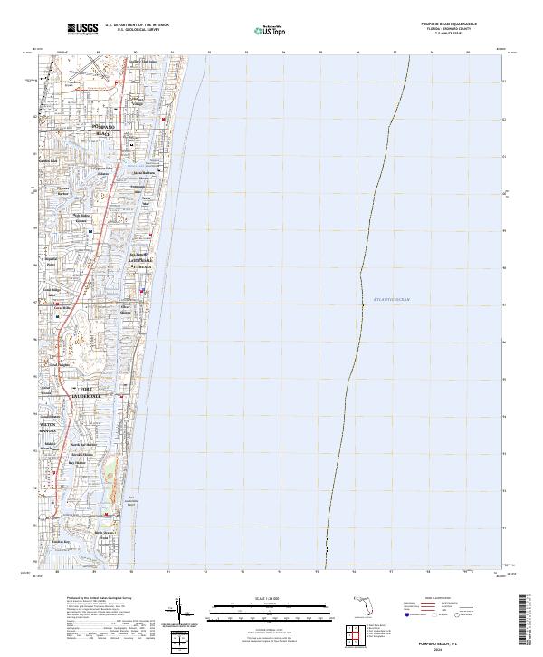
2024 Map of Pompano Beach
USGS Topo · Published 2024About this map
Lettuce Lake Burial Mound stands as a significant archaeological landmark amidst the modern waterfront developments of Broward County. This survey reveals a dense network of residential finger islands and canals that define the modern geography of Pompano Beach and Fort Lauderdale. The Intracoastal Waterway serves as the primary artery between the mainland and the coastal strip, where neighborhoods like Sea Ranch By-The-Sea and Harbor Village are situated against the Atlantic Ocean.
Find a feature on this map
53 named features on this map. Tap any name to fly to it.
Don’t see what you’re looking for? This feature index may not catch every label — zoom into the map to look around manually.
Map Details
Editions of this 2024 Pompano Beach Map
This is the sole edition of this map. No revisions or reprints were ever made.
Other maps of this area

1945 · Fort Lauderdale North
USGS Topo · 1:24,000

1946 · West Dixie Bend
USGS Topo · 1:24,000

1946 · Boca Raton
USGS Topo · 1:24,000

1949 · Fort Lauderdale North
USGS Topo · 1:24,000

1949 · West Dixie Bend
USGS Topo · 1:24,000

1949 · Port Everglades
USGS Topo · 1:24,000

1949 · Fort Lauderdale South
USGS Topo · 1:24,000

1949 · Pompano Beach
USGS Topo · 1:24,000

1950 · Boca Raton
USGS Topo · 1:24,000

1956 · West Palm Beach
USGS Topo · 1:250,000
Featured Places
- Fort Lauderdale, FL
- Pompano Beach, FL
- Lauderdale-by-the-Sea, FL
- Sea Ranch Lakes, FL
- Cypress Isles Estates, Pompano Beach