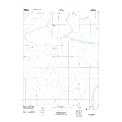
2012 Map of Ponca City SE
USGS Topo · Published 2012About this map
White Eagle serves as a central hub in this landscape south of Ponca City, situated near the confluence where the Salt Fork Arkansas River joins the main Arkansas River. This 2012 survey illustrates a region defined by its waterway junctions and a grid of local rural routes like Old River Rd and S Pleasant View Rd. The mapping details several named locations including Dakota, Cowboy, and Zigzag, which suggest a history of localized settlement patterns and ranching heritage. Local hydrology is well-defined, from the winding path of Bird Cr in the west to Houston Cr in the southeast. This map provides a clear record of the area's geography, showing how transportation corridors like White Eagle Dr and Badlands Rd navigate the lowlands and tributary valleys of the river system.
Find a feature on this map
46 named features on this map. Tap any name to fly to it.
Don’t see what you’re looking for? This feature index may not catch every label — zoom into the map to look around manually.
Map Details
Editions of this 2012 Ponca City SE Map
This is the sole edition of this map. No revisions or reprints were ever made.
Other maps of this area

1930 · Pawnee
USGS Topo · 1:62,500

1936 · Belford
USGS Topo · 1:62,500

1936 · Pawnee
USGS Topo · 1:62,500

1955 · Enid
USGS Topo · 1:250,000

1958 · Enid
USGS Topo · 1:250,000

1963 · Charley Creek
USGS Topo · 1:24,000

1968 · Marland
USGS Topo · 1:24,000

1968 · Ponca City NW
USGS Topo · 1:24,000

1968 · Ponca City SE
USGS Topo · 1:24,000
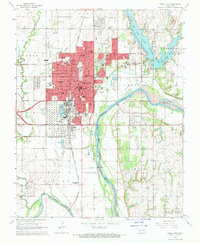
1968 · Ponca City
USGS Topo · 1:24,000