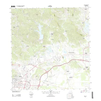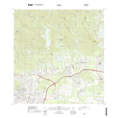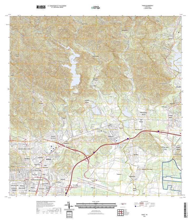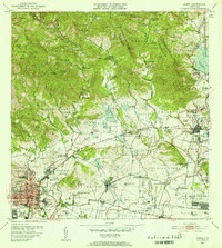
1952 Map of Ponce
USGS Topo · Published 1953About this map
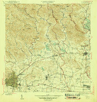
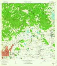
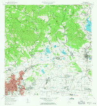
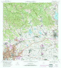
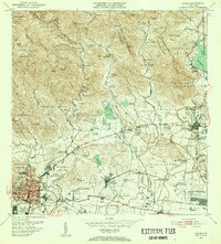
The agricultural heart of southern Puerto Rico is revealed in this mid-century survey, defined by the transition from the high peaks of Anon and San Patricio to the coastal plains of Capitanejo. The landscape is dominated by a dense network of sugarcane plantations and worker settlements, including Central Mercedita and dozens of family haciendas such as Hacienda Margarita and Hacienda Monserrate. Water management is central to the local economy, shown through the intricate system of small reservoirs like Lago No 1 and Lago Bronce, which supported the irrigation needs of the arid south.
Find a feature on this map
154 named features on this map. Tap any name to fly to it.
Don’t see what you’re looking for? This feature index may not catch every label — zoom into the map to look around manually.
Map Details
Editions of this 1952 Ponce Map
2 editions found
Historical Maps of Ponce Through Time
8 maps found