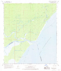
1968 Map of Ponchatoula SE
USGS Topo · Published 1969About this map
Jones Island anchors this coastal wetland survey, situated at the critical junction where the Tangipahoa River and Pass Manchac meet the vast waters of Lake Pontchartrain. The landscape is a intricate network of natural waterways and early drainage efforts, featuring named reaches like Middle Bayou, Stinking Bayou, and Jim Reed B. The presence of Indian Mounds on the eastern edge of the island provides a clear link to the area's ancient inhabitants, while more modern developments are evidenced by several artificial waterways, including the Mire Canal and Fuller Canal. This 1968 topography reflects the low-lying marsh environment of the parish border, showing a unique Flowing Well and several navigation lights marking the transition from protected bayous to the open lake.
Find a feature on this map
20 named features on this map. Tap any name to fly to it.
Don’t see what you’re looking for? This feature index may not catch every label — zoom into the map to look around manually.
Map Details
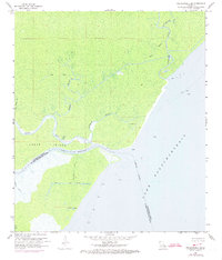
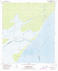
Editions of this 1968 Ponchatoula SE Map
3 editions found
Other maps of this area

1891 · Spanish Fort
USGS Topo · 1:62,500

1892 · Bonnet Carre
USGS Topo · 1:62,500

1935 · Covington
USGS Topo · 1:62,500

1935 · Ponchatoula
USGS Topo · 1:62,500

1936 · Ruddock
USGS Topo · 1:31,680

1936 · Bonnet Carre
USGS Topo · 1:62,500

1936 · Spanish Fort
USGS Topo · 1:62,500

1939 · Ponchatoula
USGS Topo · 1:62,500

1939 · Covington
USGS Topo · 1:62,500

1950 · Covington
USGS Topo · 1:62,500