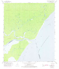
1968 Map of Ponchatoula SE
USGS Topo · Published 1973About this map
Indian Mounds located near the shoreline of Lake Pontchartrain highlight the ancient human presence within this complex hydrologic landscape. Situated at the convergence of Tangipahoa River and Bedico Creek, the area is defined by a dense network of natural bayous and artificial waterways. The map documents the low-lying terrain of Jones Island, separated from the mainland by North Pass and the critical navigation route of Pass Manchac.
Find a feature on this map
22 named features on this map. Tap any name to fly to it.
Don’t see what you’re looking for? This feature index may not catch every label — zoom into the map to look around manually.
Map Details
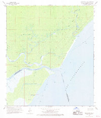
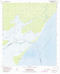
Editions of this 1968 Ponchatoula SE Map
3 editions found
Other maps of this area

1891 · Spanish Fort
USGS Topo · 1:62,500

1892 · Bonnet Carre
USGS Topo · 1:62,500

1935 · Covington
USGS Topo · 1:62,500

1935 · Ponchatoula
USGS Topo · 1:62,500

1936 · Ruddock
USGS Topo · 1:31,680

1936 · Bonnet Carre
USGS Topo · 1:62,500

1936 · Spanish Fort
USGS Topo · 1:62,500

1939 · Ponchatoula
USGS Topo · 1:62,500

1939 · Covington
USGS Topo · 1:62,500

1950 · Covington
USGS Topo · 1:62,500