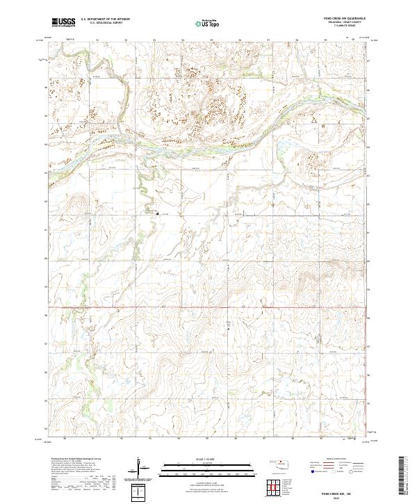
2022 Map of Pond Creek NW
USGS Topo · Published 2022About this map
The Salt Fork Arkansas River winds across this Grant County landscape, defining the local geography alongside the southern flow of Coldwater Creek. This rural area in northern Oklahoma is characterized by a precise grid of sectional roads, including Garvin Rd and Cotton Rd, which service the agricultural plots between the watercourses. For those researching local family history, the map identifies two significant burial sites: Friends Cem and Mount Zion Cem. The terrain is shaped by the subtle drainage of smaller tributaries like Sand Cr and Spring Cr, which join the larger river system. This survey illustrates the persistent rural character of the region, where named roads and family-linked landmarks provide the primary points of reference across the plains.
Find a feature on this map
29 named features on this map. Tap any name to fly to it.
Don’t see what you’re looking for? This feature index may not catch every label — zoom into the map to look around manually.
Map Details
Editions of this 2022 Pond Creek NW Map
This is the sole edition of this map. No revisions or reprints were ever made.
Other maps of this area

1955 · Enid
USGS Topo · 1:250,000

1955 · Woodward
USGS Topo · 1:250,000

1958 · Enid
USGS Topo · 1:250,000

1958 · Woodward
USGS Topo · 1:250,000

1968 · Hillsdale
USGS Topo · 1:24,000

1968 · Wakita SE
USGS Topo · 1:24,000

1968 · Kremlin
USGS Topo · 1:24,000

1968 · Pond Creek
USGS Topo · 1:24,000

1968 · Pond Creek NW
USGS Topo · 1:24,000

1968 · Wakita SW
USGS Topo · 1:24,000