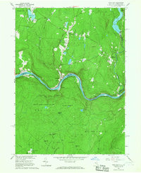
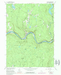
1965 Map of Pond Eddy
USGS Topo · Published 1967About this map
The Delaware River carves a sharp horseshoe bend through this mid-1960s borderlands survey, defining the boundary between Lumberland, New York, and the Shohola region of Pennsylvania. The hamlet of Pond Eddy sits at the base of this curve, served by the Erie-Lackawanna railroad tracks that follow the northern riverbank. This area is characterized by heavy forest cover and significant topographic relief, including Buckhorn Ridge and Pine Knot Ridge, which rise above the extensive State Game Lands No 209.
Find a feature on this map
45 named features on this map. Tap any name to fly to it.
Don’t see what you’re looking for? This feature index may not catch every label — zoom into the map to look around manually.
Map Details
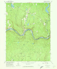
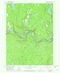
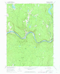
Editions of this 1965 Pond Eddy Map
5 editions found
Other maps of this area

1906 · Port Jervis
USGS Topo · 1:62,500

1908 · Port Jervis
USGS Topo · 1:62,500

1909 · Monticello
USGS Topo · 1:62,500

1911 · Monticello
USGS Topo · 1:62,500

1913 · Milford
USGS Topo · 1:62,500

1915 · Milford
USGS Topo · 1:62,500

1922 · White Lake
USGS Topo · 1:62,500

1942 · White Lake
USGS Topo · 1:62,500

1942 · Port Jervis North
USGS Topo · 1:24,000
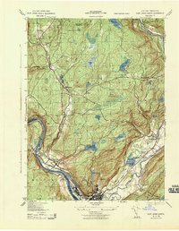
1943 · Port Jervis North
USGS Topo · 1:31,680