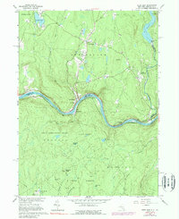
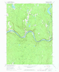
1965 Map of Pond Eddy
USGS Topo · Published 1989About this map
Pond Eddy and Glen Spey anchor this mid-1960s survey of the Delaware River corridor, where the border between New York and Pennsylvania follows the winding river's course. The river landscape is defined by the Erie-Lackawanna railroad line hugging the northern bank, connecting small riverfront settlements like Knights Eddy and Mongaup. Upland, the terrain rises toward Tink Hill and the Rio Reservoir, showing a transition from water-level transport to forested highlands marked by the State Game Lands No 209.
Find a feature on this map
46 named features on this map. Tap any name to fly to it.
Don’t see what you’re looking for? This feature index may not catch every label — zoom into the map to look around manually.
Map Details
Editions of this 1965 Pond Eddy Map
5 editions found
Other maps of this area

1906 · Port Jervis
USGS Topo · 1:62,500

1908 · Port Jervis
USGS Topo · 1:62,500

1909 · Monticello
USGS Topo · 1:62,500

1911 · Monticello
USGS Topo · 1:62,500

1913 · Milford
USGS Topo · 1:62,500

1915 · Milford
USGS Topo · 1:62,500

1922 · White Lake
USGS Topo · 1:62,500

1942 · White Lake
USGS Topo · 1:62,500

1942 · Port Jervis North
USGS Topo · 1:24,000
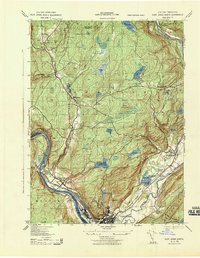
1943 · Port Jervis North
USGS Topo · 1:31,680