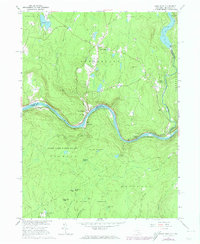
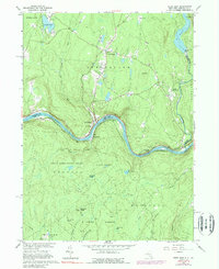
1965 Map of Pond Eddy
USGS Topo · Published 1974About this map
The Delaware River carves a deep valley between New York and Pennsylvania, anchoring a landscape where river-and-rail transport defined the local economy during the mid-1960s. The Erie-Lackawanna railroad follows the sharp bends of the river, passing through the tight riverside settlement of Pond Eddy and past the historic Sacred Heart church. North of the river, the hamlet of Glen Spey sits among upland water bodies like Lochada Lake, while the eastern edge of the map shows industrial development including a powerplant and gaging station near the Rio Reservoir.
Find a feature on this map
44 named features on this map. Tap any name to fly to it.
Don’t see what you’re looking for? This feature index may not catch every label — zoom into the map to look around manually.
Map Details
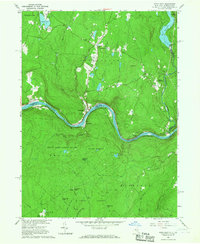
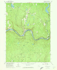
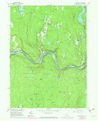
Editions of this 1965 Pond Eddy Map
5 editions found
Other maps of this area

1906 · Port Jervis
USGS Topo · 1:62,500

1908 · Port Jervis
USGS Topo · 1:62,500

1909 · Monticello
USGS Topo · 1:62,500

1911 · Monticello
USGS Topo · 1:62,500

1913 · Milford
USGS Topo · 1:62,500

1915 · Milford
USGS Topo · 1:62,500

1922 · White Lake
USGS Topo · 1:62,500

1942 · White Lake
USGS Topo · 1:62,500

1942 · Port Jervis North
USGS Topo · 1:24,000
1943 · Port Jervis North
USGS Topo · 1:31,680