1959 Map of Ponder
USGS Topo · Published 1969About this map
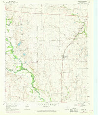
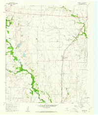
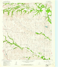
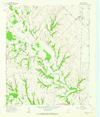
The Gulf Colorado and Santa Fe railroad corridor defines the eastern landscape of this North Texas region, anchoring the settlement of Ponder during a period of mid-century infrastructure growth. While the rail line provided a vital connection for agricultural transport, the surrounding countryside remains dotted with established community markers such as Stony, Drop, and Brown Chapel. To the west, the winding course of Denton Creek creates a complex drainage system, joined by Morris Branch and Wolf Branch. Family-history markers are preserved in the form of Stony Cemetery and Akain Cemetery, alongside rural landmarks like the Dan Ranch. Purple photorevised markings from the late 1960s indicate emerging road developments and property changes, showing the gradual transition of this rural area toward the end of the decade.
Find a feature on this map
17 named features on this map. Tap any name to fly to it.
Don’t see what you’re looking for? This feature index may not catch every label — zoom into the map to look around manually.
Map Details
Editions of this 1959 Ponder Map
2 editions found
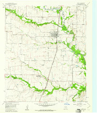
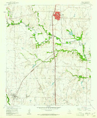
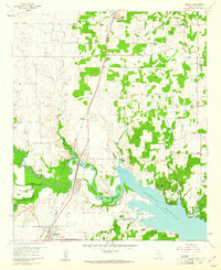
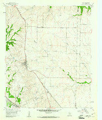
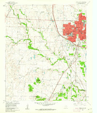
Other maps of this area

1954 · Sherman
USGS Topo · 1:250,000

1958 · Sherman
USGS Topo · 1:250,000
1959 · Ponder
USGS Topo · 1:24,000
1960 · Justin
USGS Topo · 1:24,000
1960 · Sanger
USGS Topo · 1:24,000
1960 · Bluett
USGS Topo · 1:24,000
1960 · Argyle
USGS Topo · 1:24,000
1960 · Rhome
USGS Topo · 1:24,000
1960 · Denton West
USGS Topo · 1:24,000
1961 · Slidell
USGS Topo · 1:24,000