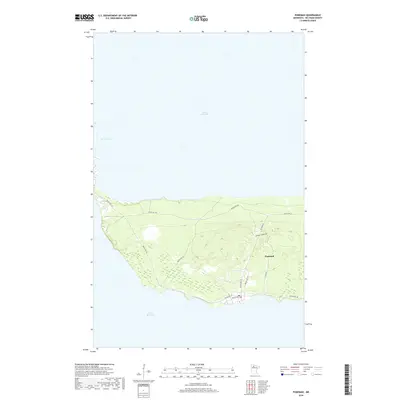
2019 Map of Ponemah
USGS Topo · Published 2019About this map
Upper Red Lake and Lower Red Lake are joined by the slender aquatic corridor of The Narrows, which defines the western edge of this peninsula. The settlement of Ponemah is the central hub of activity, situated on the land bridge between these two massive bodies of water. The landscape is marked by a network of reservation roads, including Resvn Hwy 49 and Resvn Hwy 18, which trace the interior and shoreline routes used by the local community. The topography reveals a mix of low-lying wetland areas near the water's edge and slightly elevated ridges toward the interior, illustrated by local thoroughfares like Ponemah Mariff Rd and Camp Rd. This survey provides a clear view of the geographic isolation and unique water-based orientation of this northern Minnesota community in the late 2010s.
Find a feature on this map
17 named features on this map. Tap any name to fly to it.
Don’t see what you’re looking for? This feature index may not catch every label — zoom into the map to look around manually.
Map Details
Editions of this 2019 Ponemah Map
This is the sole edition of this map. No revisions or reprints were ever made.
Other maps of this area
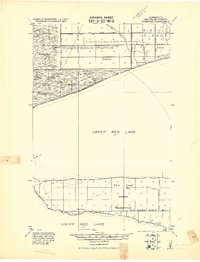
1919 · Ponemah
USGS Topo · 1:62,500
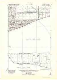
1943 · Ponemah
USGS Topo · 1:62,500
1954 · Bemidji
USGS Topo · 1:250,000
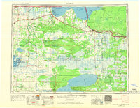
1954 · Roseau
USGS Topo · 1:250,000
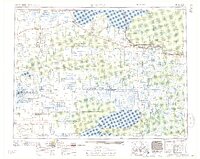
1957 · Roseau
USGS Topo · 1:250,000
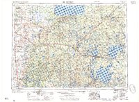
1957 · Bemidji
USGS Topo · 1:250,000
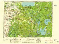
1958 · Bemidji
USGS Topo · 1:250,000
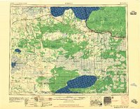
1958 · Roseau
USGS Topo · 1:250,000
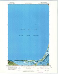
1972 · Redby NE
USGS Topo · 1:24,000
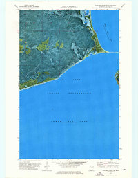
1973 · Manomin Creek SE
USGS Topo · 1:24,000