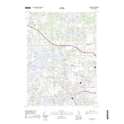
2023 Map of Pontiac North
USGS Topo · Published 2023About this map
Pontiac and its northern suburbs are defined by a complex network of glacial lakes and modern transit corridors in this 2023 U.S. Geological Survey record. The landscape is dominated by sizable water bodies like Lake Angelus, Elizabeth Lake, and Loon Lake, which historically shaped the development of surrounding communities. The dense grid of Pontiac transitions northward into the residential and recreational areas of Clintonville and Drayton Plains.
Find a feature on this map
47 named features on this map. Tap any name to fly to it.
Don’t see what you’re looking for? This feature index may not catch every label — zoom into the map to look around manually.
Map Details
Editions of this 2023 Pontiac North Map
This is the sole edition of this map. No revisions or reprints were ever made.
Other maps of this area

1907 · Pontiac
USGS Topo · 1:62,500

1908 · Rochester
USGS Topo · 1:62,500

1936 · Birmingham
USGS Topo · 1:31,680

1936 · Clarkston
USGS Topo · 1:31,680

1936 · Rochester
USGS Topo · 1:31,680

1936 · Walled Lake
USGS Topo · 1:31,680

1936 · Pontiac South
USGS Topo · 1:31,680

1936 · Pontiac North
USGS Topo · 1:31,680

1943 · Clarkston
USGS Topo · 1:24,000

1943 · Pontiac South
USGS Topo · 1:24,000
Featured Places
- Waterford Township, MI
- Pontiac, MI
- Orion Charter Township, MI
- Independence Charter Township, MI
- Auburn Hills, MI