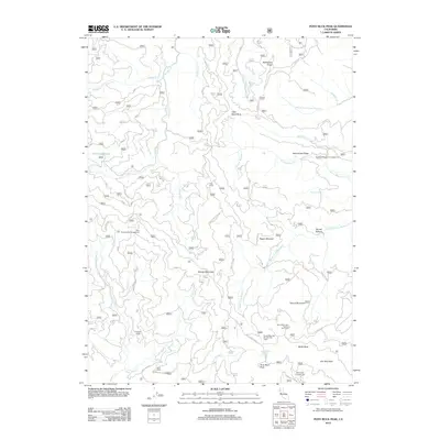
2012 Map of Pony Buck Peak
USGS Topo · Published 2012About this map
Pony Buck Peak stands as the central topographic anchor in this portion of the Coast Ranges, where the headwaters of numerous creeks diverge across a network of ridges and meadows. The drainage patterns are defined by Hayfork Cr flowing north and the various forks of Middle Fork Beegum Cr and Middle Fork Cottonwood Cr trending east. This 2012 survey illustrates a landscape primarily utilized for remote recreation and resource management, characterized by a complex system of Forest Service routes like Wild Mad Rd and White Rock Rd.
Find a feature on this map
90 named features on this map. Tap any name to fly to it.
Don’t see what you’re looking for? This feature index may not catch every label — zoom into the map to look around manually.
Map Details
Editions of this 2012 Pony Buck Peak Map
This is the sole edition of this map. No revisions or reprints were ever made.
Other maps of this area

1890 · Red Bluff
USGS Topo · 1:250,000

1894 · Red Bluff
USGS Topo · 1:250,000

1931 · Hoaglin
USGS Topo · 1:96,000

1935 · Hoaglin
USGS Topo · 1:125,000

1951 · Chanchelulla Peak
USGS Topo · 1:62,500

1953 · Blackrock Mtn
USGS Topo · 1:62,500

1954 · Dubakella Mtn
USGS Topo · 1:62,500

1954 · Blackrock Mtn
USGS Topo · 1:62,500

1954 · Yolla Bolly
USGS Topo · 1:62,500

1958 · Redding
USGS Topo · 1:250,000