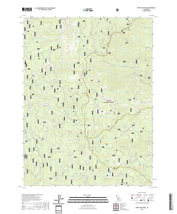
2021 Map of Pony Buck Peak
USGS Topo · Published 2021About this map
Trinity National Forest encompasses this remote wilderness at the intersection of Trinity, Tehama, and Shasta counties. The landscape is defined by its dramatic elevation changes, rising from Bull Creek Flat and Round Bottom to high points like Pony Buck Peak and Star Mtn. A complex network of drainage basins, including the headwaters of Hayfork Cr and the Middle Fork Cottonwood Creek, has carved out sharp ridges such as McFarland Ridge and Dead Horse Ridge. For researchers and hikers, the map documents historical access routes and natural landmarks including the Beegum Creek Trail and the curiously named Hell to Find Lake. Springs like Hackney Spring and Gum Spring are critical water sources in this steep terrain, while geographical markers like Stuart Gap and Round Mtn Saddle indicate traditional transit points through the mountains.
Find a feature on this map
46 named features on this map. Tap any name to fly to it.
Don’t see what you’re looking for? This feature index may not catch every label — zoom into the map to look around manually.
Map Details
Editions of this 2021 Pony Buck Peak Map
This is the sole edition of this map. No revisions or reprints were ever made.
Other maps of this area

1890 · Red Bluff
USGS Topo · 1:250,000

1894 · Red Bluff
USGS Topo · 1:250,000

1931 · Hoaglin
USGS Topo · 1:96,000

1935 · Hoaglin
USGS Topo · 1:125,000

1951 · Chanchelulla Peak
USGS Topo · 1:62,500

1953 · Blackrock Mtn
USGS Topo · 1:62,500

1954 · Dubakella Mtn
USGS Topo · 1:62,500

1954 · Blackrock Mtn
USGS Topo · 1:62,500

1954 · Yolla Bolly
USGS Topo · 1:62,500

1958 · Redding
USGS Topo · 1:250,000