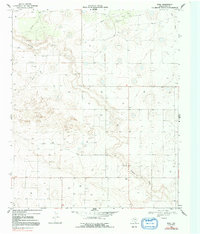
1969 Map of Pool
USGS Topo · Published 1992About this map
Sulphur Draw and Lost Draw carve through the high plains of Terry County in this late 1960s topographic study. The landscape is defined by its industrial and agricultural utility, marked by a pervasive network of wells and a major pipeline that traverses the northern reaches. The small settlement of Pool serves as a focal point in a region characterized by wide-open spaces and the infrastructure of the West Texas oil and gas fields.
Find a feature on this map
8 named features on this map. Tap any name to fly to it.
Don’t see what you’re looking for? This feature index may not catch every label — zoom into the map to look around manually.
Map Details
Editions of this 1969 Pool Map
2 editions found
Other maps of this area

1954 · Brownfield
USGS Topo · 1:250,000

1958 · Brownfield
USGS Topo · 1:250,000

1962 · Brownfield
USGS Topo · 1:250,000

1965 · Sundown
USGS Topo · 1:24,000

1965 · Plains 1 NE
USGS Topo · 1:24,000

1965 · Lockettville
USGS Topo · 1:24,000

1969 · Gomez
USGS Topo · 1:24,000

1969 · Plains 1 SE
USGS Topo · 1:24,000

1969 · Sundown SE
USGS Topo · 1:24,000

1969 · Pool
USGS Topo · 1:24,000