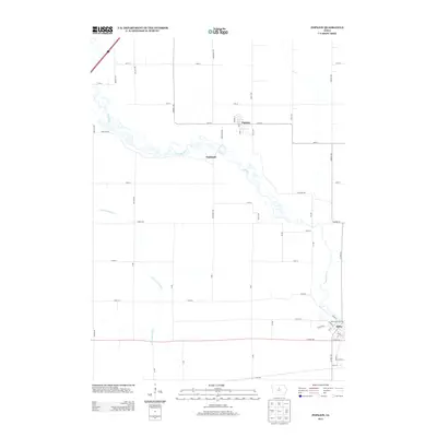
2013 Map of Popejoy
USGS Topo · Published 2013About this map
The Iowa River carves a winding path through this Hardin County landscape, connecting the small settlements of Popejoy, Oakland, and Alden. This 2013 U.S. Geological Survey representation highlights a rural infrastructure defined by a strict section-line grid of local roads, such as Hardin Rd and Oakland Dr, which contrast with the organic meanders of the river and the S Fork Iowa River. In the southeast corner, the town of Alden shows a more concentrated street plan featuring Grand Ave and Main St. Recreational utility is noted at the Alden River Access, where the local community meets the water. The map documents a modern agricultural corridor where primary thoroughfares like Co Hwy-D20 provide regional connectivity across the flat prairie terrain between these historic river-oriented communities.
Find a feature on this map
52 named features on this map. Tap any name to fly to it.
Don’t see what you’re looking for? This feature index may not catch every label — zoom into the map to look around manually.
Map Details
Editions of this 2013 Popejoy Map
This is the sole edition of this map. No revisions or reprints were ever made.
Other maps of this area

1954 · Waterloo
USGS Topo · 1:250,000

1955 · Waterloo
USGS Topo · 1:250,000

1978 · Sheldon Creek
USGS Topo · 1:24,000

1978 · Dows West
USGS Topo · 1:24,000

1978 · Williams
USGS Topo · 1:24,000

1979 · Dows East
USGS Topo · 1:24,000

1979 · Coulter
USGS Topo · 1:24,000

1979 · Iowa Falls West
USGS Topo · 1:24,000

1979 · Buckeye West
USGS Topo · 1:24,000

1979 · Buckeye East
USGS Topo · 1:24,000