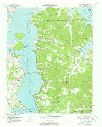
1949 Map of Poplar Creek
USGS Topo · Published 1953About this map
Kentucky Lake and the Big Sandy River dominate this post-war landscape, illustrating the transformative impact of the Tennessee Valley Authority on the region's topography. The survey reveals a complex shoreline where numerous landings, such as Iron Bridge Landing and Sulphur Well Landing, served as vital points of access before the impoundment of the river. Inland, the terrain is defined by family-named landmarks and small rural congregations, including New Hope Church and Mt Carmel Church, which acted as anchors for communities like Poplar and Valentine.
Find a feature on this map
62 named features on this map. Tap any name to fly to it.
Don’t see what you’re looking for? This feature index may not catch every label — zoom into the map to look around manually.
Map Details
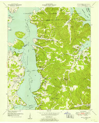
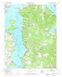
Editions of this 1949 Poplar Creek Map
3 editions found
Other maps of this area

1936 · Poplar Creek
USGS Topo · 1:24,000

1936 · Buchanan
USGS Topo · 1:24,000

1936 · McKinnon
USGS Topo · 1:24,000

1936 · Big Sandy
USGS Topo · 1:24,000

1936 · Centerville Landing
USGS Topo · 1:24,000

1936 · Harmon Creek
USGS Topo · 1:24,000

1936 · Standing Rock
USGS Topo · 1:24,000

1936 · Manleyville
USGS Topo · 1:24,000

1936 · Springville
USGS Topo · 1:24,000

1938 · Springville
USGS Topo · 1:24,000