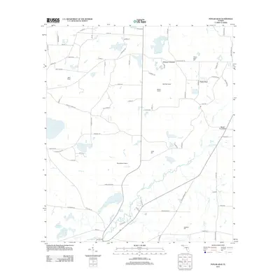
2012 Map of Poplar Head
USGS Topo · Published 2012About this map
Poplar Head and its namesake Poplar Head Hill anchor this Washington County landscape, where the meandering Holmes Cr serves as the primary drainage for a network of wetlands and creeks. The 2012 survey illustrates a rural Florida interior defined by named crossroads and family-held tracts, such as Bess Nook and Brock Crossroad. The geography is notably punctuated by unique inland landforms like Roundabout Island and Beech Island, which rise out of the swampy lowlands of Cypress Cr.
Find a feature on this map
87 named features on this map. Tap any name to fly to it.
Don’t see what you’re looking for? This feature index may not catch every label — zoom into the map to look around manually.
Map Details
Editions of this 2012 Poplar Head Map
This is the sole edition of this map. No revisions or reprints were ever made.
Other maps of this area

1949 · Millers Ferry
USGS Topo · 1:24,000

1949 · Hinsons Cross Roads
USGS Topo · 1:24,000

1949 · Caryville
USGS Topo · 1:24,000

1950 · Millers Ferry
USGS Topo · 1:24,000

1950 · Hinsons Cross Roads
USGS Topo · 1:24,000

1950 · Caryville
USGS Topo · 1:24,000

1950 · Vernon
USGS Topo · 1:24,000

1950 · Chipley
USGS Topo · 1:24,000

1950 · Wausau
USGS Topo · 1:24,000

1950 · Gap Lake
USGS Topo · 1:24,000