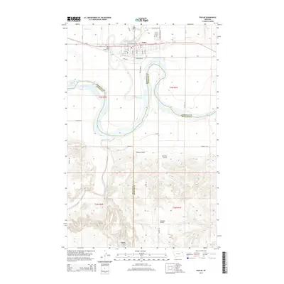
2014 Map of Poplar
USGS Topo · Published 2014About this map
The town of Poplar sits at the confluence where the Poplar River meets the sweeping curves of the Missouri River in northeastern Montana. As the seat of tribal government, the area includes local landmarks such as Ft Peck Community College and the Poplar Cemetery on the northern bluffs. The landscape transitions from the river bottoms to the dissected uplands of Hubbard Coulee and Glendive Coulee to the south.
Find a feature on this map
45 named features on this map. Tap any name to fly to it.
Don’t see what you’re looking for? This feature index may not catch every label — zoom into the map to look around manually.
Map Details
Editions of this 2014 Poplar Map
This is the sole edition of this map. No revisions or reprints were ever made.
Other maps of this area

1912 · Chelsea
USGS Topo · 1:62,500

1912 · Poplar
USGS Topo · 1:62,500

1954 · Glendive
USGS Topo · 1:250,000

1954 · Wolf Point
USGS Topo · 1:250,000

1957 · Glendive
USGS Topo · 1:250,000

1958 · Wolf Point
USGS Topo · 1:250,000

1958 · Glendive
USGS Topo · 1:250,000

1972 · Poplar
USGS Topo · 1:24,000

1972 · Chelsea
USGS Topo · 1:24,000

1972 · Poplar NE
USGS Topo · 1:24,000
Featured Places
- Poplar District, MT
- Poplar, Poplar District
- Brockton District, MT
- Roosevelt County, MT
- McCone County, MT