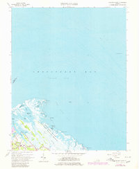
1964 Map of Poquoson East
USGS Topo · Published 1980About this map
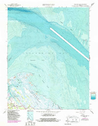
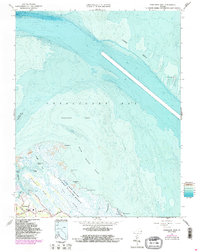
Plum Tree Island National Wildlife Refuge dominates the eastern coastal reaches of this survey, preserving a complex of salt marsh and tidal flats where the Poquoson River meets the Chesapeake Bay. The map documents the low-lying geography of the Virginia Peninsula just as residential development began to press eastward from Poquoson toward the wetlands. Local infrastructure is represented by a handful of roads like North Lawson Road and Poquoson Rd, which serve small clusters of buildings and a Cem near the water's edge. Offshore, the vast shallow waters of the York Spit and Poquoson Flats are marked by the distant York Spit Lighthouse, signaling the transition from protected coves like Easton Cove to the open bay. This topographic record highlights the intricate network of ridges and islands, including Blackwalnut Ridge and Blacksnake Island, that define the fragile boundary between land and sea.
Find a feature on this map
37 named features on this map. Tap any name to fly to it.
Don’t see what you’re looking for? This feature index may not catch every label — zoom into the map to look around manually.
Map Details
Editions of this 1964 Poquoson East Map
6 editions found
Other maps of this area

1907 · Hampton
USGS Topo · 1:62,500

1916 · Mathews
USGS Topo · 1:62,500

1917 · Mathews
USGS Topo · 1:62,500

1943 · Richmond
USGS Topo · 1:250,000

1944 · Hampton
USGS Topo · 1:24,000

1944 · Messick
USGS Topo · 1:24,000

1944 · Morrison
USGS Topo · 1:24,000

1944 · Harris Grove
USGS Topo · 1:24,000

1948 · Achilles
USGS Topo · 1:24,000

1948 · New Point Comfort
USGS Topo · 1:24,000