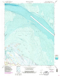
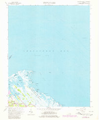
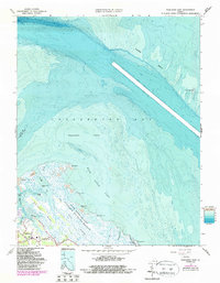
1964 Map of Poquoson East
USGS Topo · Published 1987About this map
Plum Tree Island National Wildlife Refuge dominates the coastline of this coastal region, where the brackish waters of Chesapeake Bay meet the tidal marshes and mudflats of the Virginia Peninsula. The intricate network of tidal guts and shallow bays, including Lloyd Bay and Sandy Bay, reveals a landscape defined by shifting sands and low-lying islands such as Cow Island and Blacksnake Island. The York Spit and its namesake York Spit Lighthouse stand as critical navigational markers in the deep waters of the York channel.
Find a feature on this map
35 named features on this map. Tap any name to fly to it.
Don’t see what you’re looking for? This feature index may not catch every label — zoom into the map to look around manually.
Map Details
Editions of this 1964 Poquoson East Map
6 editions found
Other maps of this area

1907 · Hampton
USGS Topo · 1:62,500

1916 · Mathews
USGS Topo · 1:62,500

1917 · Mathews
USGS Topo · 1:62,500

1943 · Richmond
USGS Topo · 1:250,000

1944 · Hampton
USGS Topo · 1:24,000

1944 · Messick
USGS Topo · 1:24,000

1944 · Morrison
USGS Topo · 1:24,000

1944 · Harris Grove
USGS Topo · 1:24,000

1948 · Achilles
USGS Topo · 1:24,000

1948 · New Point Comfort
USGS Topo · 1:24,000