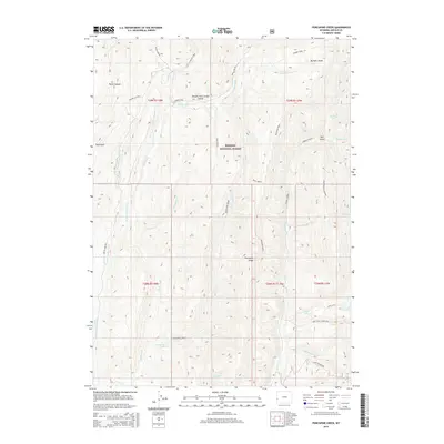
2015 Map of Porcupine Creek
USGS Topo · Published 2015About this map
The Lander Trail and the Oregon Trail Lander Cutoff cross this high-elevation terrain, marking the historic path of westward migration through what is now the Bridger National Forest. The landscape is defined by the headwaters of the Smiths Fork and the N Fork Smiths Fork, which carve through deep canyons like Water Canyon. In the southeastern portion of the map, the elevation rises toward Lake Mountain, overlooking the alpine waters of Lake Alice and Crystal Lake. This area includes significant topographical landmarks such as Porcupine Ridge and Buckskin Knoll, illustrating the complex drainage patterns of Porcupine Creek and its many tributaries. The presence of the Coppermine Labarge road suggests the long-standing intersection of natural resources and transportation in this part of Lincoln County.
Find a feature on this map
41 named features on this map. Tap any name to fly to it.
Don’t see what you’re looking for? This feature index may not catch every label — zoom into the map to look around manually.
Map Details
Editions of this 2015 Porcupine Creek Map
This is the sole edition of this map. No revisions or reprints were ever made.
Other maps of this area

1921 · Afton
USGS Topo · 1:125,000

1936 · Cokeville
USGS Topo · 1:96,000

1942 · Cokeville
USGS Topo · 1:125,000

1955 · Preston
USGS Topo · 1:250,000

1958 · Preston
USGS Topo · 1:250,000

1962 · Preston
USGS Topo · 1:250,000

1967 · Devils Hole Creek
USGS Topo · 1:24,000

1967 · Graham Peak
USGS Topo · 1:24,000

1967 · Big Park
USGS Topo · 1:24,000

1967 · Huff Lake
USGS Topo · 1:24,000