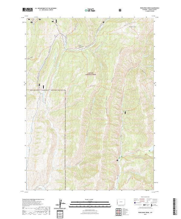
2021 Map of Porcupine Creek
USGS Topo · Published 2021About this map
Bridger National Forest defines the rugged verticality of this Wyoming landscape, where the headwaters of the Smiths Fork and its numerous tributaries like Porcupine Cr carve deep drainages between high ridges. The map documents a convergence of westward expansion routes, specifically the Lander Cutoff Nat Historic Trl Trl and the Oregon Trail Lander Cutoff, providing a modern look at these vital 19th-century immigrant paths. Settlement is absent here, replaced by a dense network of high-altitude trails such as the Buckskin Knoll Trl and Coppermine-Labarge Trl. Notable landmarks include Lake Alice and Crystal Lake, tucked into the eastern basins, while the central Porcupine Ridge separates the primary creek valleys. The layout reflects a landscape dedicated to forest management and wilderness recreation, preserving the exact corridors used by early pioneers.
Find a feature on this map
40 named features on this map. Tap any name to fly to it.
Don’t see what you’re looking for? This feature index may not catch every label — zoom into the map to look around manually.
Map Details
Editions of this 2021 Porcupine Creek Map
This is the sole edition of this map. No revisions or reprints were ever made.
Other maps of this area

1921 · Afton
USGS Topo · 1:125,000

1936 · Cokeville
USGS Topo · 1:96,000

1942 · Cokeville
USGS Topo · 1:125,000

1955 · Preston
USGS Topo · 1:250,000

1958 · Preston
USGS Topo · 1:250,000

1962 · Preston
USGS Topo · 1:250,000

1967 · Devils Hole Creek
USGS Topo · 1:24,000

1967 · Graham Peak
USGS Topo · 1:24,000

1967 · Big Park
USGS Topo · 1:24,000

1967 · Huff Lake
USGS Topo · 1:24,000