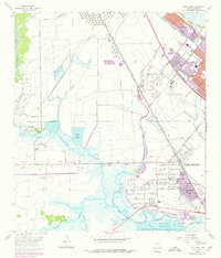
1962 Map of Port Acres
USGS Topo · Published 1979About this map
The industrial and marshland landscape of Jefferson County is defined by a dense network of energy infrastructure and mid-century suburban expansion. The legendary Spindletop Oil Field and the Lovell Lake Oil Field dominate the western and northern reaches, where pipelines and pumping stations weave between the meandering curves of Hillebrandt Bayou and Johns Gully. Residential growth is visible in the structured layouts of Central Gardens, Beauxart Gardens, and Port Acres, providing a clear record of the area's development during the 1960s and early 1970s.
Find a feature on this map
41 named features on this map. Tap any name to fly to it.
Don’t see what you’re looking for? This feature index may not catch every label — zoom into the map to look around manually.
Map Details
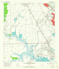
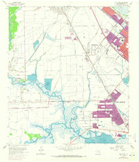
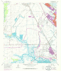
Editions of this 1962 Port Acres Map
4 editions found
Other maps of this area

1926 · Terry
USGS Topo · 1:24,000

1926 · Vidor
USGS Topo · 1:24,000

1932 · Beaumont
USGS Topo · 1:62,500

1943 · Port Arthur North
USGS Topo · 1:24,000

1943 · Terry
USGS Topo · 1:24,000

1943 · Port Arthur South
USGS Topo · 1:24,000

1943 · Fannett East
USGS Topo · 1:24,000

1943 · Beaumont East
USGS Topo · 1:24,000

1945 · Fannett East
USGS Topo · 1:31,680

1950 · Houston
USGS Topo · 1:250,000