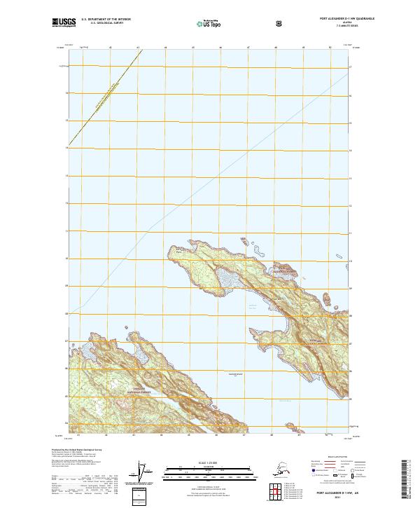
2021 Map of Port Alexander D-1 NW
USGS Topo · Published 2021About this map
The coastal environment of the Hoonah-Angoon Census Area is defined by intricate shorelines and rugged archipelago terrain within the Tongass National Forest. Prominent landmarks such as Cornwallis Point and the Fossil Bluffs overlook the sheltered waters of Halleck Harbor, while Sachem Island sits isolated near the coastal margin. The map traces the natural boundary between maritime and forest ecosystems, highlighting inland water bodies like Ledge Lake and Cool Lake. This area reflects the remote, undeveloped character of the Alaska Panhandle, where the landform itself dictates human movement and history. Significant coastal features like Skanáx Bay provide important context for navigating this portion of the Alexander Archipelago.
Find a feature on this map
15 named features on this map. Tap any name to fly to it.
Don’t see what you’re looking for? This feature index may not catch every label — zoom into the map to look around manually.
Map Details
Editions of this 2021 Port Alexander D-1 NW Map
This is the sole edition of this map. No revisions or reprints were ever made.
Other maps of this area

1948 · Sitka A-2
USGS Topo · 1:63,360

1948 · Port Alexander D-1
USGS Topo · 1:63,360

1948 · Sitka A-1
USGS Topo · 1:63,360

1951 · Sitka
USGS Topo · 1:250,000

1951 · Port Alexander
USGS Topo · 1:250,000

1951 · Port Alexander D-2
USGS Topo · 1:63,360

1951 · Sitka A-2
USGS Topo · 1:63,360

1952 · Port Alexander
USGS Topo · 1:250,000

1952 · Sitka
USGS Topo · 1:250,000

1964 · Sitka
USGS Topo · 1:250,000