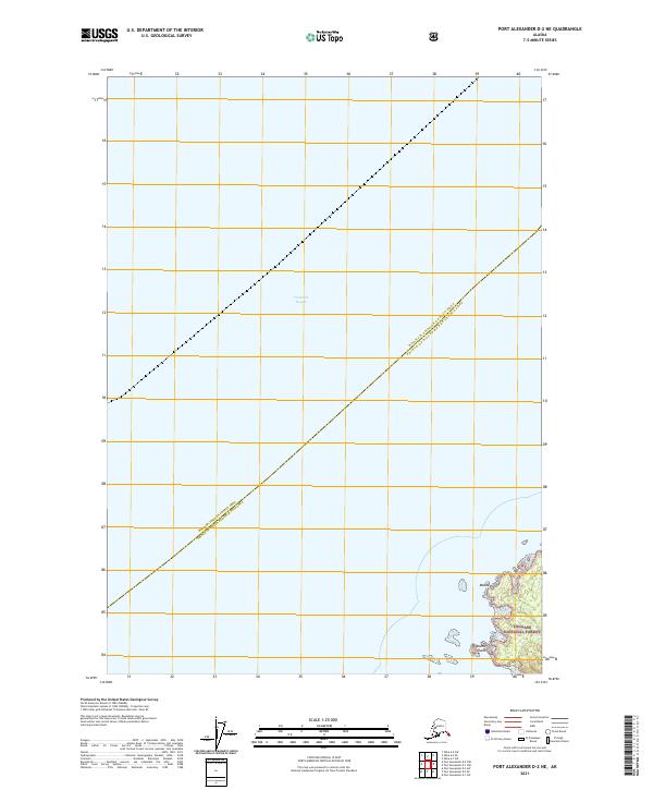
2021 Map of Port Alexander D-2 NE
USGS Topo · Published 2021About this map
Frederick Sound dominates this maritime landscape of Southeast Alaska, where the administrative boundary between the Hoonah-Angoon Census Area and the Prince of Wales-Hyder Census Area cuts diagonally across open water. The map focuses on a sparsely populated stretch of the Alaskan coastline, featuring the eastern shoreline of the Tongass National Forest. This protected wilderness is punctuated by coastal landmarks like Meade Point and the isolated Round Island, which sits just offshore among smaller unnamed islets. The absence of roads or established settlements reflects the characteristic isolation of this region, where the vast expanse of the sound serves as the primary corridor for movement between the rugged island territories of the Alexander Archipelago.
Find a feature on this map
5 named features on this map. Tap any name to fly to it.
Don’t see what you’re looking for? This feature index may not catch every label — zoom into the map to look around manually.
Map Details
Editions of this 2021 Port Alexander D-2 NE Map
This is the sole edition of this map. No revisions or reprints were ever made.
Other maps of this area

1948 · Sitka A-2
USGS Topo · 1:63,360

1948 · Port Alexander D-1
USGS Topo · 1:63,360

1948 · Sitka A-1
USGS Topo · 1:63,360

1951 · Sitka
USGS Topo · 1:250,000

1951 · Port Alexander
USGS Topo · 1:250,000

1951 · Port Alexander D-2
USGS Topo · 1:63,360

1951 · Sitka A-2
USGS Topo · 1:63,360

1952 · Port Alexander
USGS Topo · 1:250,000

1952 · Sitka
USGS Topo · 1:250,000

1964 · Sitka
USGS Topo · 1:250,000