
1951 Map of Port Alexander D-3
USGS Topo · Published 1959About this map
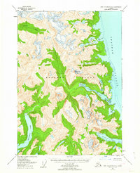
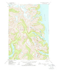
Baranof Island is documented here during the mid-20th century, revealing a landscape defined by deeply recessed glacial fjords and high alpine peaks within the Tongass National Forest. The map provides a critical look at the coastal economy of the Alaska Panhandle, centered on the Cannery at the mouth of Red Bluff Bay. This industrial outpost served as a focal point for maritime activity along Chatham Strait, drawing from the surrounding network of freshwater bodies such as Deep Lake and Long Lake.
Find a feature on this map
17 named features on this map. Tap any name to fly to it.
Don’t see what you’re looking for? This feature index may not catch every label — zoom into the map to look around manually.
Map Details
Editions of this 1951 Port Alexander D-3 Map
3 editions found
Other maps of this area

1948 · Sitka A-3
USGS Topo · 1:63,360

1948 · Sitka A-2
USGS Topo · 1:63,360

1951 · Sitka
USGS Topo · 1:250,000

1951 · Port Alexander C-4
USGS Topo · 1:63,360

1951 · Port Alexander D-4
USGS Topo · 1:63,360

1951 · Port Alexander C-2
USGS Topo · 1:63,360

1951 · Port Alexander C-3
USGS Topo · 1:63,360

1951 · Port Alexander
USGS Topo · 1:250,000

1951 · Port Alexander D-2
USGS Topo · 1:63,360

1951 · Sitka A-4
USGS Topo · 1:63,360