
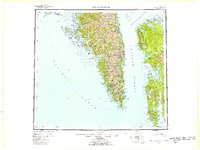
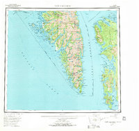
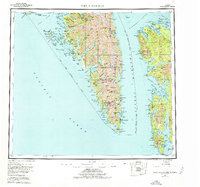
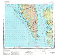
1951 Map of Port Alexander
USGS Topo · Published 1959About this map
Baranof Island and Kuiu Island dominate this coastal survey, where the intricate shoreline of Southeast Alaska is defined by deep fjords and maritime outposts. At the southern tip of the Alexander Archipelago, the settlement of Port Alexander sits near the exposed waters of the Pacific Ocean, serving as a vital harbor for the region's fishing and maritime activities. Inland, the high peaks of Mt Elizabeth and Mt Emma rise above glacial-carved terrain, while the thermal activity at Goddard (Hot Springs P O) marks a unique geological point of interest on the western coast.
Find a feature on this map
37 named features on this map. Tap any name to fly to it.
Don’t see what you’re looking for? This feature index may not catch every label — zoom into the map to look around manually.
Map Details
Editions of this 1951 Port Alexander Map
5 editions found
Other maps of this area

1948 · Sitka A-5
USGS Topo · 1:63,360

1948 · Sitka A-3
USGS Topo · 1:63,360

1948 · Sitka A-2
USGS Topo · 1:63,360

1948 · Port Alexander C-1
USGS Topo · 1:63,360

1948 · Petersburg A-6
USGS Topo · 1:63,360

1948 · Port Alexander A-1
USGS Topo · 1:63,360

1948 · Petersburg B-6
USGS Topo · 1:63,360

1948 · Sumdum A-6
USGS Topo · 1:63,360

1948 · Port Alexander B-1
USGS Topo · 1:63,360

1948 · Petersburg D-6
USGS Topo · 1:63,360