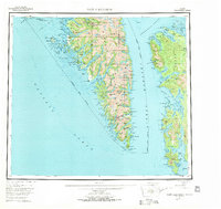
1951 Map of Port Alexander
USGS Topo · Published 1971About this map
Baranof Island and Kuiu Island dominate this mid-century maritime survey, revealing the remote coastal settlements and industrial outposts along the intricate shoreline of Southeast Alaska. The map traces the rugged topography of the Greater Sitka Borough, from the peaks of The Pyramids and Muravief Peak down to the strategic harbor at Port Alexander. This era shows a landscape defined by its dependence on the sea, with isolated outposts like the Pillar Bay Cannery and Goddard accessible only by water.
Find a feature on this map
38 named features on this map. Tap any name to fly to it.
Don’t see what you’re looking for? This feature index may not catch every label — zoom into the map to look around manually.
Map Details
Editions of this 1951 Port Alexander Map
5 editions found

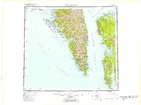
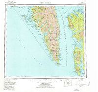
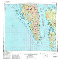
Other maps of this area

1948 · Sitka A-5
USGS Topo · 1:63,360

1948 · Sitka A-3
USGS Topo · 1:63,360

1948 · Sitka A-2
USGS Topo · 1:63,360

1948 · Port Alexander C-1
USGS Topo · 1:63,360

1948 · Petersburg A-6
USGS Topo · 1:63,360

1948 · Port Alexander A-1
USGS Topo · 1:63,360

1948 · Petersburg B-6
USGS Topo · 1:63,360

1948 · Sumdum A-6
USGS Topo · 1:63,360

1948 · Port Alexander B-1
USGS Topo · 1:63,360

1948 · Petersburg D-6
USGS Topo · 1:63,360