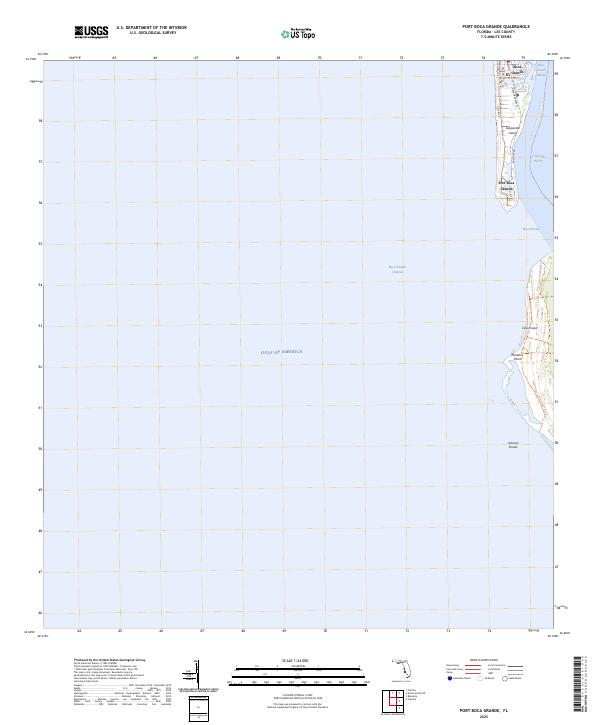
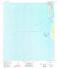
2025 Map of Port Boca Grande
USGS Topo · Published 2025This historical map portrays the area of Port Boca Grande in 2025, primarily covering Lee County. Featuring a scale of 1:24000, this map provides a highly detailed snapshot of the terrain, roads, buildings, counties, and historical landmarks in the Port Boca Grande region at the time. Published in 2025, it is the sole known edition of this map.
Find a feature on this map
21 named features on this map. Tap any name to fly to it.
Don’t see what you’re looking for? This feature index may not catch every label — zoom into the map to look around manually.
Map Details
Editions of this 2025 Port Boca Grande Map
This is the sole edition of this map. No revisions or reprints were ever made.
Historical Maps of Lee County Through Time
16 maps found
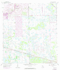
1958 Alva SE
Lee County, FL
1958 Alva SW
Lee County, FL
1958 Corkscrew NW
Lee County, FL
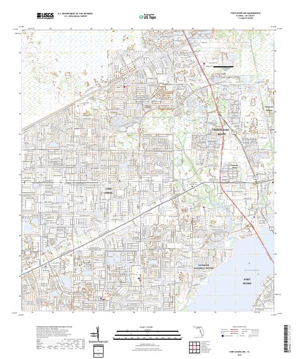
1958 Fort Myers NW
Lee County, FL
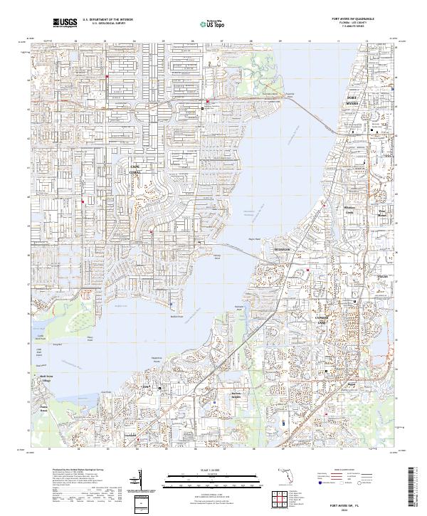
1958 Fort Myers SE
Lee County, FL
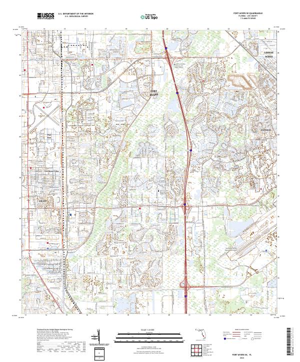
1958 Fort Myers SW
Lee County, FL
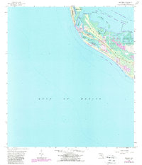
1958 Port Boca Grande
Lee County, FL
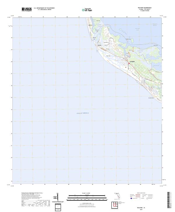
1958 Wulfert
Lee County, FL
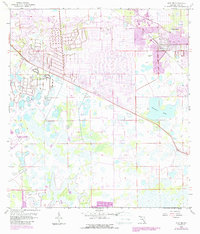
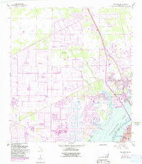
2024 Alva SE
Lee County, FL
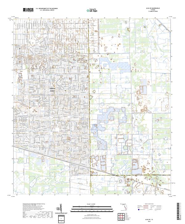
2024 Alva SW
Lee County, FL
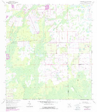
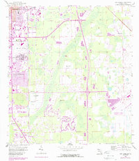
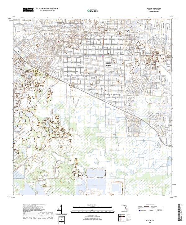
2024 Corkscrew NW
Lee County, FL
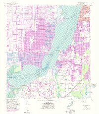
2024 Fort Myers NW
Lee County, FL
2024 Fort Myers SE
Lee County, FL
2024 Fort Myers SW
Lee County, FL
2025 Port Boca Grande
Lee County, FL
2025 Wulfert
Lee County, FL