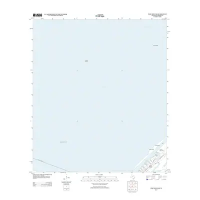
2013 Map of Port Bolivar
USGS Topo · Published 2013About this map
Port Bolivar sits at the tip of the Bolivar Peninsula, serving as a critical threshold between the open Gulf and the vast waters of Galveston Bay. This 2013 survey illustrates the coastal landscape dominated by significant maritime and geographical features like Hanna Island and Hanna Reef to the north, while the Texas City Dike Rd stretches into the bay from the west. The local street grid is clearly defined, with Madison Ave, Broadway Ave, and Nelson Ave forming the residential and commercial heart of the community. Coastal hydrology is prominent near the settlement, featuring Horseshoe Lake and Oyster Lake, reflecting the low-lying, marshy character of the region where Baffle Point and Goat Island meet the surrounding flats and Halfmoon Shoal.
Find a feature on this map
27 named features on this map. Tap any name to fly to it.
Don’t see what you’re looking for? This feature index may not catch every label — zoom into the map to look around manually.
Map Details
Editions of this 2013 Port Bolivar Map
This is the sole edition of this map. No revisions or reprints were ever made.
Other maps of this area

1929 · Virginia Point
USGS Topo · 1:24,000

1929 · Texas City
USGS Topo · 1:24,000

1930 · Galveston
USGS Topo · 1:24,000

1931 · Flake
USGS Topo · 1:24,000

1932 · Clifton By The Sea
USGS Topo · 1:31,680

1932 · Texas City
USGS Topo · 1:31,680

1932 · Bolivar Point
USGS Topo · 1:24,000

1932 · Virginia Point
USGS Topo · 1:31,680

1933 · The Jetties
USGS Topo · 1:31,680

1933 · Whites Lake
USGS Topo · 1:31,680