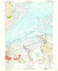
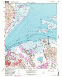
1959 Map of Port Chicago
USGS Topo · Published 1960About this map
Industrial shoreline and tidal marshlands dominate this mid-century survey of the Contra Costa County waterfront. The massive Naval Reservation and Mt Diablo Naval Reservation occupy significant acreage alongside established towns like Martinez and the village of Port Chicago. The map captures a landscape defined by heavy industry and vital transport corridors, showing an extensive Oil Refinery at Mococo, the Monsanto plant, and the sprawling rail network of the Southern Pacific and Sacramento Northern.
Find a feature on this map
66 named features on this map. Tap any name to fly to it.
Don’t see what you’re looking for? This feature index may not catch every label — zoom into the map to look around manually.
Map Details
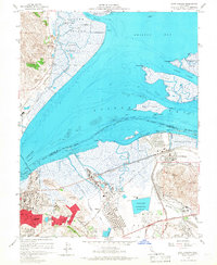
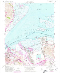
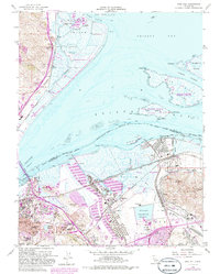
Editions of this 1959 Port Chicago Map
5 editions found
Other maps of this area

1896 · Carquinez Strait
USGS Topo · 1:62,500

1896 · Mt. Diablo
USGS Topo · 1:62,500

1897 · Concord
USGS Topo · 1:62,500

1898 · Karquines
USGS Topo · 1:62,500

1898 · Mt. Diablo
USGS Topo · 1:62,500

1901 · Karquines
USGS Topo · 1:62,500

1902 · Napa
USGS Topo · 1:125,000

1907 · Antioch
USGS Topo · 1:62,500

1908 · Antioch
USGS Topo · 1:62,500

1915 · Concord
USGS Topo · 1:62,500