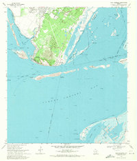
1968 Map of Port Ingleside
USGS Topo · Published 1971About this map
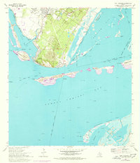
Live Oak Ridge and the industrializing shoreline of San Patricio County dominate this coastal landscape in the late 1960s. The map illustrates a period of significant maritime and energy development, with a large refinery and extensive tank farms positioned north of Port Ingleside. The deep-water connectivity provided by the Corpus Christi Channel and the Southern Pacific rail line supported the growth of Ingleside and the waterfront community of Ingleside-On-the-Bay. To the east and south, the map transitions into the expansive waters of Redfish Bay and Corpus Christi Bay, dotted with numerous offshore oil and gas wells. The natural barrier islands and reefs, including Mustang Island, Shamrock Island, and Dagger Island, are shown in detail, revealing the intricate network of cuts and channels like the Morris and Cummings Cut that define the Texas Gulf Coast.
Find a feature on this map
46 named features on this map. Tap any name to fly to it.
Don’t see what you’re looking for? This feature index may not catch every label — zoom into the map to look around manually.
Map Details
Editions of this 1968 Port Ingleside Map
2 editions found
Other maps of this area

1925 · Aransas Pass
USGS Topo · 1:62,500

1925 · Oso Creek
USGS Topo · 1:62,500

1925 · Corpus Christi
USGS Topo · 1:62,500

1950 · Corpus Christi
USGS Topo · 1:250,000

1951 · Portland
USGS Topo · 1:24,000

1951 · Corpus Christi
USGS Topo · 1:62,500

1951 · Crane Islands NW
USGS Topo · 1:24,000

1951 · Oso Creek NE
USGS Topo · 1:24,000

1951 · Oso Creek
USGS Topo · 1:62,500

1951 · Crane Islands
USGS Topo · 1:62,500