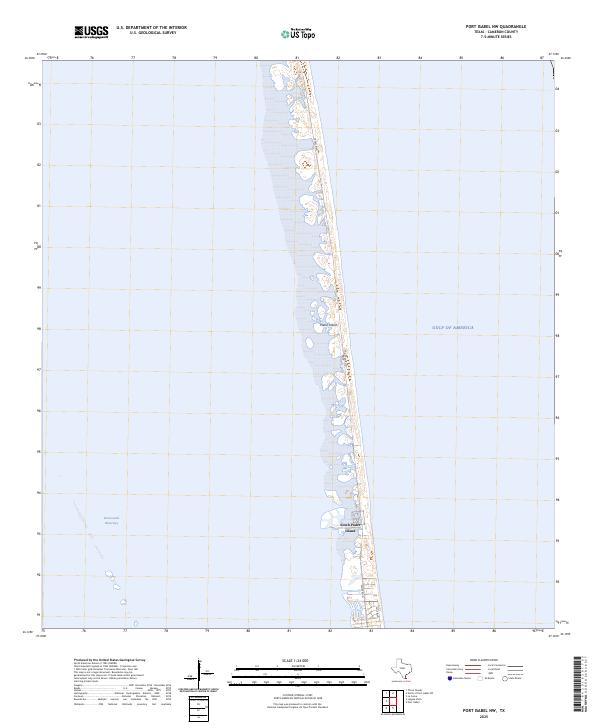
2025 Map of Port Isabel NW
USGS Topo · Published 2025About this map
Padre Island forms a narrow barrier between the Intracoastal Waterway and the open Gulf of America along the Texas coast. This modern survey illustrates the intensive coastal development concentrated at South Padre Island, where a dense network of streets and property lines defines the landscape. The geography is characterized by the thin, vulnerable ribbon of land that separates the sheltered western waters from the surf of the gulf. Primary transit corridors such as Ocean Blvd, Padre Blvd, and Gulf Blvd run parallel to the shoreline, serving as the backbone for the island's infrastructure. Outside the developed town center, the terrain transitions into the relatively untouched stretches of the barrier island, highlighting the delicate balance between urban expansion and the shifting sands of the Gulf Coast.
Find a feature on this map
7 named features on this map. Tap any name to fly to it.
Don’t see what you’re looking for? This feature index may not catch every label — zoom into the map to look around manually.
Map Details
Editions of this 2025 Port Isabel NW Map
This is the sole edition of this map. No revisions or reprints were ever made.
Other maps of this area

1929 · La Coma
USGS Topo · 1:24,000

1929 · Point Isabel
USGS Topo · 1:24,000

1929 · Buena Vista
USGS Topo · 1:24,000

1929 · Laguna Vista
USGS Topo · 1:24,000

1930 · Padre Island No. 1
USGS Topo · 1:24,000

1930 · Padre Island No. 2
USGS Topo · 1:24,000

1934 · Port Isabel
USGS Topo · 1:31,680

1934 · La Coma
USGS Topo · 1:31,680

1935 · Padre Island No 1
USGS Topo · 1:31,680

1935 · Padre Island NO. 2
USGS Topo · 1:31,680