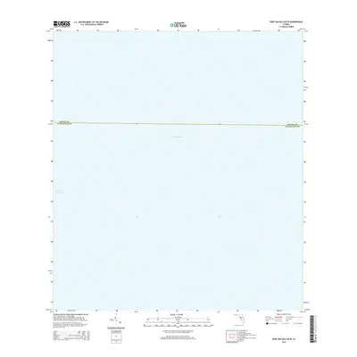
2015 Map of Port Mayaca OE W
USGS Topo · Published 2015About this map
Lake Okeechobee dominates the entirety of this open-water survey, illustrating a specific section of Florida’s largest freshwater lake. The map focuses on the vast watery expanse where the boundaries of Martin Co and Palm Beach Co intersect. Because this map represents a deep-water portion of the lake, it provides a specialized look at the jurisdictional line dividing these two counties across the open surface of the water, far from the complex shoreline marshes or developed canal systems found in surrounding areas. It serves as a precise digital-era reference for the administrative divisions that exist within one of the state's most significant natural features.
Find a feature on this map
2 named features on this map. Tap any name to fly to it.
Don’t see what you’re looking for? This feature index may not catch every label — zoom into the map to look around manually.
Map Details
Editions of this 2015 Port Mayaca OE W Map
This is the sole edition of this map. No revisions or reprints were ever made.
Other maps of this area

1953 · Okeechobee 4 SW
USGS Topo · 1:24,000

1953 · Okeechobee 4 SE
USGS Topo · 1:24,000

1956 · West Palm Beach
USGS Topo · 1:250,000

1956 · Fort Pierce
USGS Topo · 1:250,000

1957 · West Palm Beach
USGS Topo · 1:250,000

1958 · Fort Pierce
USGS Topo · 1:250,000

1958 · West Palm Beach
USGS Topo · 1:250,000

1959 · Fort Pierce
USGS Topo · 1:250,000

1970 · Pahokee
USGS Topo · 1:24,000

1970 · Bryant
USGS Topo · 1:24,000