2021 Map of Port Mayaca OE W
USGS Topo · Published 2021About this map
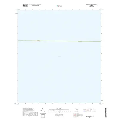
Lake Okeechobee dominates this 2021 topographic survey, covering the vast majority of the quadrangle's surface. Located at the boundary of Martin Co and Palm Beach Co, this map represents a specialized "all water" sheet typical of the large interior freshwater lake's geography. Because the entire area is submerged, the map lacks terrestrial features such as roads, buildings, or schools, focusing instead on the hydrographic extent of Florida’s largest lake. The administrative line dividing the two counties is the only significant human-defined boundary presented, bisecting the open water. This record is essential for understanding the jurisdictional reach and the sheer scale of the lake's open waters within the Florida Everglades ecosystem during the early 21st century.
Find a feature on this map
2 named features on this map. Tap any name to fly to it.
Don’t see what you’re looking for? This feature index may not catch every label — zoom into the map to look around manually.
Map Details
Editions of this 2021 Port Mayaca OE W Map
This is the sole edition of this map. No revisions or reprints were ever made.
Other maps of this area

1953 · Okeechobee 4 SW
USGS Topo · 1:24,000

1953 · Okeechobee 4 SE
USGS Topo · 1:24,000

1956 · West Palm Beach
USGS Topo · 1:250,000

1956 · Fort Pierce
USGS Topo · 1:250,000

1957 · West Palm Beach
USGS Topo · 1:250,000

1958 · Fort Pierce
USGS Topo · 1:250,000

1958 · West Palm Beach
USGS Topo · 1:250,000

1959 · Fort Pierce
USGS Topo · 1:250,000

1970 · Pahokee
USGS Topo · 1:24,000

1970 · Bryant
USGS Topo · 1:24,000