
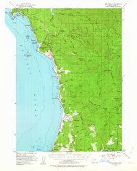
1954 Map of Port Orford
USGS Topo · Published 1956About this map
The coastal headlands of Port Orford define this mid-century survey of the Oregon shoreline. The map documents the rugged interface of the Pacific Ocean and the Siskiyou National Forest, capturing the layout of established settlements like Ophir and Nesika Beach along the highway corridor. A Coast Guard Sta stands at the tip of the port, overlooking a complex of rocky landmarks including Battle Rock and Graveyard Point.
Find a feature on this map
77 named features on this map. Tap any name to fly to it.
Don’t see what you’re looking for? This feature index may not catch every label — zoom into the map to look around manually.
Map Details
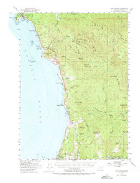
Editions of this 1954 Port Orford Map
3 editions found
Other maps of this area

1899 · Port Orford
USGS Topo · 1:125,000

1903 · Port Orford
USGS Topo · 1:125,000

1954 · Coos Bay
USGS Topo · 1:250,000

1954 · Cape Blanco
USGS Topo · 1:62,500

1954 · Gold Beach
USGS Topo · 1:62,500

1954 · Collier Butte
USGS Topo · 1:62,500

1954 · Agness
USGS Topo · 1:62,500

1954 · Powers
USGS Topo · 1:62,500

1954 · Langlois
USGS Topo · 1:62,500

1958 · Coos Bay
USGS Topo · 1:250,000