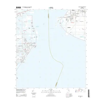
2015 Map of Port Tampa
USGS Topo · Published 2015About this map
MacDill Air Force Base dominates the Interbay Peninsula in this 2015 look at the shoreline where Tampa and Saint Petersburg meet across Old Tampa Bay. The geography is defined by a complex network of coastal residential developments and protected natural areas. On the western shore, the finger-canals of Venetian Isles and Shore Acres illustrate modern Florida coastal engineering, contrasting with the preserved terrain of Weedon Island and its surrounding mangroves. To the east, the industrial and military footprint of Port Tampa and the base provides a sharp counterpoint to the residential neighborhoods of Sunniland and Monnette. This era shows the mature development of neighborhoods like Snell Isle and Eden Island, while the deep-water Port Tampa Channel and South Gandy Channel remain critical maritime corridors for the region's shipping and transit economy.
Find a feature on this map
123 named features on this map. Tap any name to fly to it.
Don’t see what you’re looking for? This feature index may not catch every label — zoom into the map to look around manually.
Map Details
Editions of this 2015 Port Tampa Map
This is the sole edition of this map. No revisions or reprints were ever made.
Other maps of this area

1921 · Tampa
USGS Topo · 1:62,500

1921 · Fort De Soto
USGS Topo · 1:62,500

1921 · St Petersburg
USGS Topo · 1:62,500

1942 · Cockroach Bay
USGS Topo · 1:31,680

1943 · St Petersburg
USGS Topo · 1:31,680

1943 · Gandy Bridge
USGS Topo · 1:31,680

1943 · Pass-A-Grille
USGS Topo · 1:31,680

1943 · Safety Harbor
USGS Topo · 1:31,680

1943 · Port Tampa
USGS Topo · 1:31,680

1944 · Ruskin
USGS Topo · 1:31,680