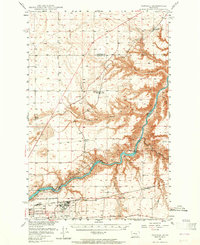
1948 Map of Portage
USGS Topo · Published 1965About this map
The Missouri River cuts a deep, winding path through this portion of Montana, dictating the development of industrial and military infrastructure in the years following World War II. Hydroelectric power is central to the local economy, anchored by the Morony Dam, Ryan Dam, and Rainbow Dam. Near the bend in the river, the Great Falls Army Air Force Base sits adjacent to the C M ST P & P Yards, highlighting the area's strategic transportation and defense significance.
Find a feature on this map
31 named features on this map. Tap any name to fly to it.
Don’t see what you’re looking for? This feature index may not catch every label — zoom into the map to look around manually.
Map Details
Editions of this 1948 Portage Map
4 editions found
Other maps of this area

1886 · Great Falls
USGS Topo · 1:250,000

1890 · Fort Benton
USGS Topo · 1:250,000

1892 · Fort Benton
USGS Topo · 1:250,000

1897 · Fort Benton
USGS Topo · 1:250,000

1948 · Portage
USGS Topo · 1:62,500

1949 · Portage
USGS Topo · 1:62,500

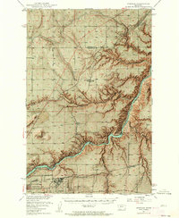
1949 · Timber Coulee
USGS Topo · 1:62,500

1949 · Great Falls
USGS Topo · 1:62,500

1950 · Timber Coulee
USGS Topo · 1:62,500

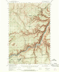
1950 · Dent Bridge
USGS Topo · 1:62,500