
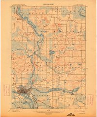
1902 Map of Portage
USGS Topo · Published 1902About this map
Portage serves as the focal point of this 1899 survey, situated at the historic land bridge between the Wisconsin River and the Fox River. This geography, long used for portaging between the Great Lakes and Mississippi River watersheds, is shown here during a period of industrial expansion. The city is a dense hub for the Chicago, Milwaukee and St. Paul R. R., with the Portage City Line and lines toward Madison radiating from the center.
Find a feature on this map
43 named features on this map. Tap any name to fly to it.
Don’t see what you’re looking for? This feature index may not catch every label — zoom into the map to look around manually.
Map Details
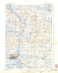
Editions of this 1902 Portage Map
3 editions found
Other maps of this area

1895 · Baraboo
USGS Topo · 1:62,500

1901 · Poynette
USGS Topo · 1:62,500

1902 · Briggsville
USGS Topo · 1:62,500

1908 · Baraboo
USGS Topo · 1:62,500

1915 · Neshkoro
USGS Topo · 1:48,000

1918 · Neshkoro
USGS Topo · 1:62,500

1955 · Randolph
USGS Topo · 1:62,500

1955 · Columbus
USGS Topo · 1:62,500

1957 · Madison
USGS Topo · 1:250,000

1958 · Briggsville
USGS Topo · 1:62,500