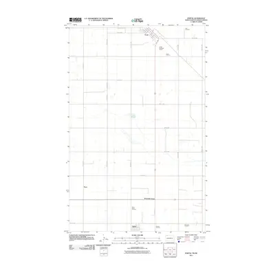
2011 Map of Portal
USGS Topo · Published 2011About this map
The international boundary between North Dakota and Saskatchewan defines the northern edge of this landscape, where Portal serves as a critical gateway at the border. This 2011 survey reveals a classic prairie section-line grid, sparsely punctuated by small agricultural hubs like Lignite and rural junctions such as Sevenmile Corner. The map records a distinct genealogical footprint through several community burial grounds, including the Norwegian Cemetery, Swedish Cemetery, and Saint Marys Cemetery, each reflecting the diverse heritage of the early settlers who organized these townships. Much of the terrain is dominated by high-plains agriculture and scattered wetlands like Little Slough, while the Portal Municipal Airport and a small grid of streets like Main St and Dakota St mark the modest concentration of infrastructure in this northern frontier.
Find a feature on this map
34 named features on this map. Tap any name to fly to it.
Don’t see what you’re looking for? This feature index may not catch every label — zoom into the map to look around manually.
Map Details
Editions of this 2011 Portal Map
This is the sole edition of this map. No revisions or reprints were ever made.
Other maps of this area

1947 · Flaxton
USGS Topo · 1:24,000

1948 · Flaxton
USGS Topo · 1:24,000

1948 · Beaver Lake
USGS Topo · 1:24,000

1948 · Woburn
USGS Topo · 1:24,000

1948 · Stampede
USGS Topo · 1:24,000

1949 · Rennie Lake
USGS Topo · 1:24,000

1949 · Portal
USGS Topo · 1:24,000

1950 · Flaxton
USGS Topo · 1:62,500

1950 · Portal
USGS Topo · 1:62,500

1953 · Williston
USGS Topo · 1:250,000