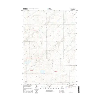
2016 Map of Porter SW
USGS Topo · Published 2016About this map
Wilno stands as a primary point of interest in this section of Lincoln County, situated just north of the Coteau des Prairies upland. The landscape is defined by the headwaters of the Yellow Medicine River and its tributary, the N Br Yellow Medicine River, which carve subtle valleys across the glacial till. Genealogical interest is concentrated at several long-established sites including the Saint Johns Cantlus Cem and the Alta Vista Cem, while Porter Cem sits on the northern edge of the survey. The mapping of Oak Lake and the dense grid of local roads like Co RD 134 and Co RD 109 reveals the organized agricultural layout that has persisted in this southwestern Minnesota corridor for generations.
Find a feature on this map
27 named features on this map. Tap any name to fly to it.
Don’t see what you’re looking for? This feature index may not catch every label — zoom into the map to look around manually.
Map Details
Editions of this 2016 Porter SW Map
This is the sole edition of this map. No revisions or reprints were ever made.
Other maps of this area

1953 · Watertown
USGS Topo · 1:250,000

1958 · Watertown
USGS Topo · 1:250,000

1963 · Gislason Lake
USGS Topo · 1:24,000

1963 · Arco
USGS Topo · 1:24,000

1967 · Canby
USGS Topo · 1:24,000

1967 · Porter
USGS Topo · 1:24,000
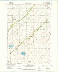
1967 · Porter SW
USGS Topo · 1:24,000
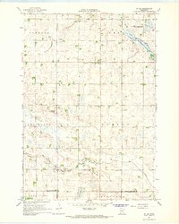
1967 · St Leo
USGS Topo · 1:24,000
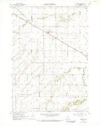
1967 · Taunton
USGS Topo · 1:24,000

1967 · Canby SE
USGS Topo · 1:24,000