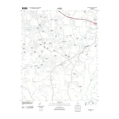
2011 Map of Porterdale
USGS Topo · Published 2011About this map
The Yellow River winds through this landscape near the turn of the 21st century, defining the industrial and residential growth of Newton County. The town of Porterdale sits at a prominent bend in the river, adjacent to Cedar Shoals, reflecting a legacy of water-powered development now surrounded by modern neighborhoods like Village Green and River North. To the west, the landscape is densely dotted with named residential enclaves such as Salem Village and Springfield, while institutional history is preserved at the Salem Campground and several large burial grounds, including Middlebrooks Cemetery and Shiloh Cemetery.
Find a feature on this map
129 named features on this map. Tap any name to fly to it.
Don’t see what you’re looking for? This feature index may not catch every label — zoom into the map to look around manually.
Map Details
Editions of this 2011 Porterdale Map
This is the sole edition of this map. No revisions or reprints were ever made.
Other maps of this area

1888 · Atlanta
USGS Topo · 1:125,000

1890 · Atlanta
USGS Topo · 1:125,000

1892 · Atlanta
USGS Topo · 1:125,000

1895 · Atlanta
USGS Topo · 1:125,000

1896 · Monroe
USGS Topo · 1:125,000

1953 · Atlanta
USGS Topo · 1:250,000

1953 · Athens
USGS Topo · 1:250,000

1956 · Conyers
USGS Topo · 1:24,000

1957 · Atlanta
USGS Topo · 1:250,000

1958 · Athens
USGS Topo · 1:250,000