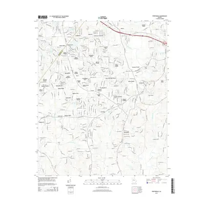
2014 Map of Porterdale
USGS Topo · Published 2014About this map
Porterdale and the surrounding suburban growth of Newton County are documented in this 2014 survey, highlighting a landscape defined by the winding course of the Yellow River. The map captures a transition from traditional industrial and rural settlements to modern residential developments, with communities like Newton Woods, Salem Village, and Fieldstone populating the terrain between the river and major thoroughfares. Genealogical interest is anchored by several local burial grounds, including Bethany Cem, Middlebrooks Cem, and Shiloh Cem near the northern boundary.
Find a feature on this map
71 named features on this map. Tap any name to fly to it.
Don’t see what you’re looking for? This feature index may not catch every label — zoom into the map to look around manually.
Map Details
Editions of this 2014 Porterdale Map
This is the sole edition of this map. No revisions or reprints were ever made.
Other maps of this area

1888 · Atlanta
USGS Topo · 1:125,000

1890 · Atlanta
USGS Topo · 1:125,000

1892 · Atlanta
USGS Topo · 1:125,000

1895 · Atlanta
USGS Topo · 1:125,000

1896 · Monroe
USGS Topo · 1:125,000

1953 · Atlanta
USGS Topo · 1:250,000

1953 · Athens
USGS Topo · 1:250,000

1956 · Conyers
USGS Topo · 1:24,000

1957 · Atlanta
USGS Topo · 1:250,000

1958 · Athens
USGS Topo · 1:250,000