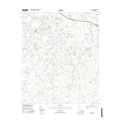
2017 Map of Porterdale
USGS Topo · Published 2017About this map
Yellow River drainage patterns define this part of Newton County, where the water cuts through prominent features like Cedar Shoals and Langston Shoals. The landscape transition across the Rockdale Co Newton Co boundary reveals a mix of established municipalities and smaller locales such as Almon, Pace, and the historic textile mill town of Porterdale. Genealogists will find several significant burial grounds documented, including Middlebrooks Cem, Bethany Cem, and the expansive Lawnwood Memorial Park near Oxford.
Find a feature on this map
322 named features on this map. Tap any name to fly to it.
Don’t see what you’re looking for? This feature index may not catch every label — zoom into the map to look around manually.
Map Details
Editions of this 2017 Porterdale Map
This is the sole edition of this map. No revisions or reprints were ever made.
Other maps of this area

1888 · Atlanta
USGS Topo · 1:125,000

1890 · Atlanta
USGS Topo · 1:125,000

1892 · Atlanta
USGS Topo · 1:125,000

1895 · Atlanta
USGS Topo · 1:125,000

1896 · Monroe
USGS Topo · 1:125,000

1953 · Atlanta
USGS Topo · 1:250,000

1953 · Athens
USGS Topo · 1:250,000

1956 · Conyers
USGS Topo · 1:24,000

1957 · Atlanta
USGS Topo · 1:250,000

1958 · Athens
USGS Topo · 1:250,000