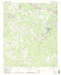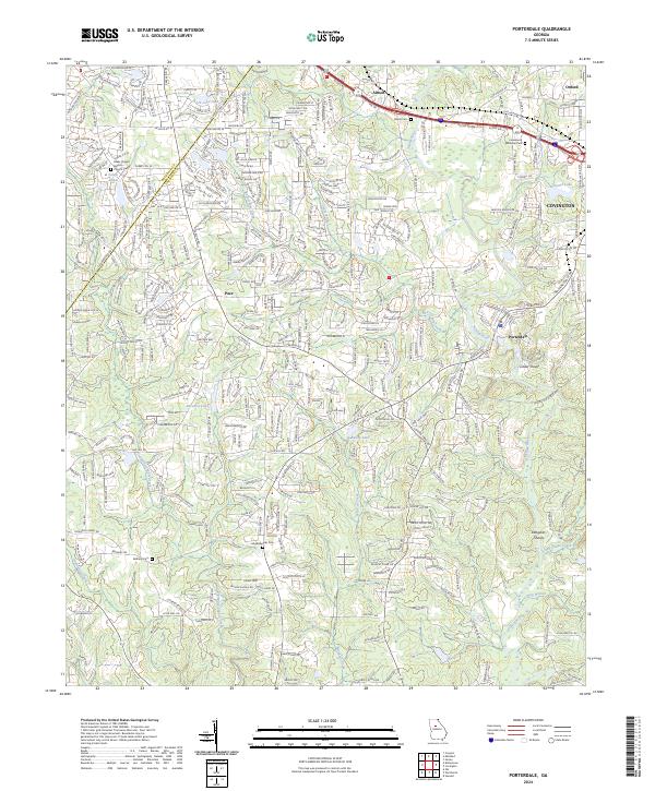
2024 Map of Porterdale
USGS Topo · Published 2024About this map
The Yellow River anchors this landscape in Newton County, carving a path through the rolling terrain south of the I-20 corridor. The river's significance to the area's development is evident near Porterdale, where water features like Cedar Shoals and Langston Shoals have historically shaped the industrial and residential growth of the community. In the northern reaches, the map captures the suburban expansion around Covington and the academic setting of Oxford, contrasted by the more rural character of settlements like Pace and Almon.
Find a feature on this map
30 named features on this map. Tap any name to fly to it.
Don’t see what you’re looking for? This feature index may not catch every label — zoom into the map to look around manually.
Map Details
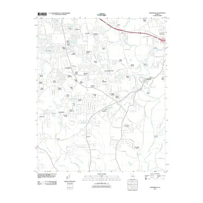
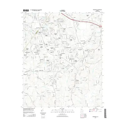
Editions of this 2024 Porterdale Map
This is the sole edition of this map. No revisions or reprints were ever made.
Historical Maps of Covington Through Time
6 maps found