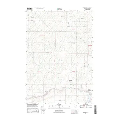
2016 Map of Porterfield
USGS Topo · Published 2016About this map
Porterfield and the neighboring settlements of Walsh and Bagley Junction anchor this portion of Marinette County along the winding path of the Peshtigo River. The landscape is defined by its complex drainage network, where the waters of Twin Cr, Mud Brook, and Gravelly Brook meander through a low-lying terrain often marked by wetland pockets. In the southeast, the river widens significantly into the Bagley Flowage 1061, a notable water body that historically supported local power and industry. For genealogists, the map identifies local landmarks such as Saint Joseph Cem near Walsh. The layout of the roads, including the intersection of Co Hwy G and Co Hwy E, reveals the persistent grid of a rural community rooted in its timber and dairy heritage, maintaining its structure even as it transitions into the modern era.
Find a feature on this map
62 named features on this map. Tap any name to fly to it.
Don’t see what you’re looking for? This feature index may not catch every label — zoom into the map to look around manually.
Map Details
Editions of this 2016 Porterfield Map
This is the sole edition of this map. No revisions or reprints were ever made.
Other maps of this area

1939 · Marinette
USGS Topo · 1:48,000

1939 · Porterfield
USGS Topo · 1:48,000

1942 · Porterfield
USGS Topo · 1:48,000

1942 · Wausaukee
USGS Topo · 1:48,000

1947 · Wausaukee
USGS Topo · 1:48,000

1949 · Stephenson
USGS Topo · 1:48,000

1954 · Escanaba
USGS Topo · 1:250,000

1957 · Escanaba
USGS Topo · 1:250,000

1958 · Escanaba
USGS Topo · 1:250,000

1963 · Porterfield
USGS Topo · 1:62,500